AgraDelhi
Varanasi
Roads
New
Perspective
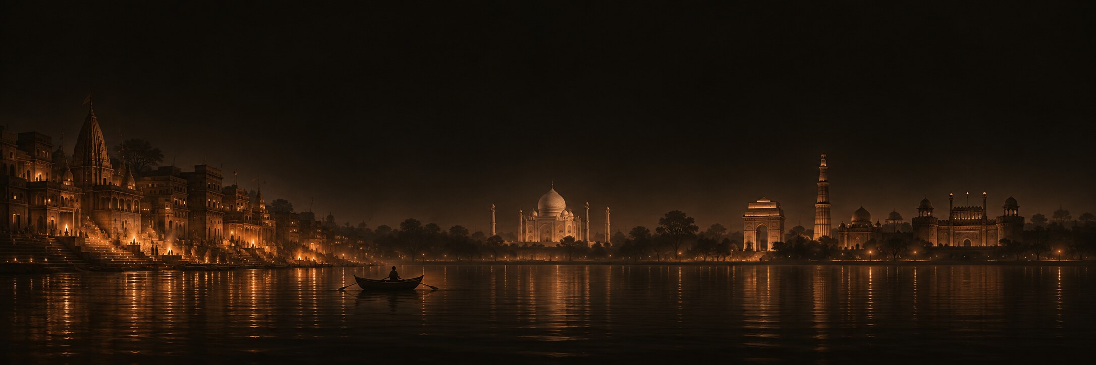
The winter edition. Ten days from the last weekend of November into the first week of December: cool mornings, warm afternoons, the year's worst air, and fog that can swallow the Taj until ten. Every hop measured from real coordinates, every fare and timetable checked, every hour rated for smog. Change the date up top and it all re-plans.
Four cities, one loop, same roads
Flights drawn as great circles, trains along the line. Click any marker. Hover an itinerary item further down and the map follows.
Trains, flights, and the choice
Pick the option you'd take on each leg. Fares are current published ranges; the budget below follows your choices. Times shown are the scheduled ones.
Ten days, hour by hour
Each ride shows road distance from coordinates, time at that hour's typical traffic, and an estimated Uber or cab fare. Each sight shows the entry fee for your ticket type and the temperature to expect when you're there. Closed-day clashes are flagged from your departure date.
What the sky will do to your plan
Monthly normals computed from three years of daily station data. Click a month on the chart or the strip to re-plan the trip for it.
Breathing in smog season
Late November into December is the dirtiest air of the year in the north. This is not a reason to cancel. It is a reason to plan the hours: mornings and nights are the worst, early afternoon is the cleanest, and a fitted N95 turns a very poor day into a workable one.
How slow the city is right now
Drag the clock. Speeds are typical weekday profiles; fares use each city's UberGo-class rates with surge rising as speeds fall.
What it actually costs
Flights and trains use the middle of the current fare range for the options you picked above. Rides sum every itinerary hop at its scheduled hour. Entry fees follow the ticket type in the top bar. A 10% buffer is added because India.